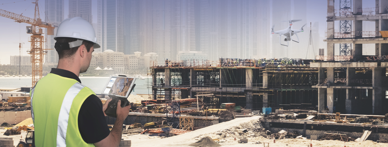
As drone surveying lays a path toward well-established urban planning, we can quickly accumulate large amounts of real-time data. With extensive aerial mapping technology have benefited government agencies and private developers while designing and analyzing existing social and environmental concerns.
Drones: A New Way Of Tackling India’s Urban Planning And Management Issue- Whether it is to give farmers a better way to understand their fields through more frequent inspection or mapping urban areas for better provision of settlement, assessing the better quality of energy efficiency, drones can transform the way we are running our industries in India. In this day and age, people are discovering all sorts of resourceful methods to increase efficiency and maximize profits by using modern drone technology.
Drone Technology will redefine the way Urban Planning will shape for the Smart Cities

Urban city planning is changing and Drones have a decisive role to play. Technology has moved beyond the traditional techniques which were commonly used legacy city planning process. These methods cantered around data collection, analysis and tedious fieldwork. The toughest challenge revolved around the data collection process, where the authenticity of data was always a question.
The modern sustainability goals gradually empower cities to go for urban planning and expansion with limited resources. This leaves the need for data-driven decision-making becoming more imperative.
This is where city planners, policymakers are finding the potential of UAVs or Unmanned Aerial Vehicles or Drones to transform the planning and design industry.

Here is how the UAV drone technology will reshape the future of Urban Planning
Modernising Big Data Collection:-
Perhaps big data collection is the most vital and poignant application of Drone Technology. Urbanisation is increasing the population density and so it is getting difficult to collect big data for resource planning and allocation. Massive data collection is critical to any planning application, in addition to data analysis and fieldwork.Without the application of drones, it becomes increasingly difficult, requiring a lot of manpower, time, and involving costs.
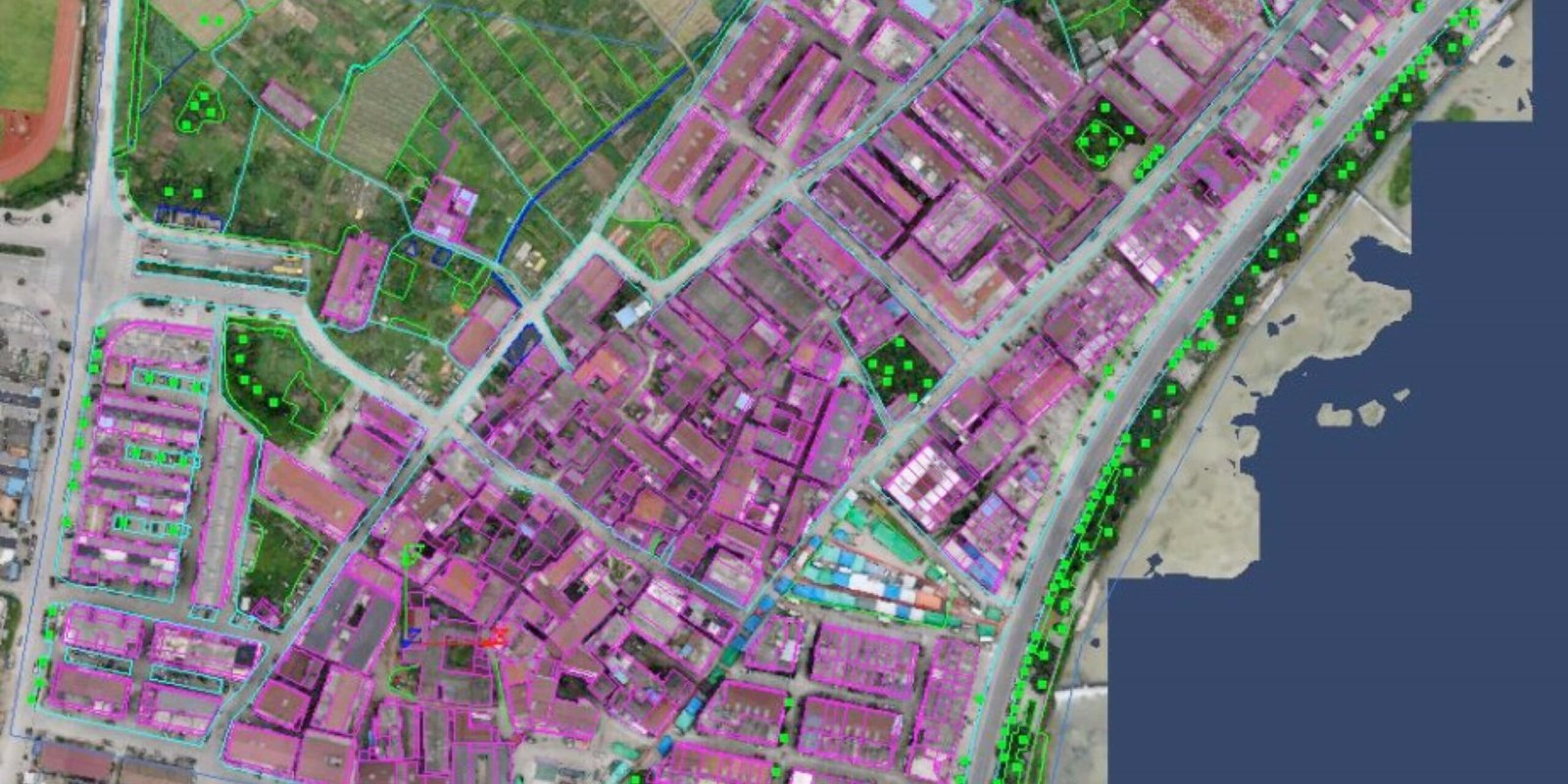
Drone cameras equipped with LiDAR (Light Detection and Ranging) scanners produce three-dimensional representations as well. Our UAV technology, along with suitable sensors, obtain accurate topographical data that encourages clients to pay regard to energy efficiency, project progress monitoring, sewage design, utility establishment, detect illegal constructions, encroachments, etc.

Precise Aerial Surveys:-
Aerial surveys find their application in disaster management, policy urban infrastructure planning and potential development initiatives. Dense urban environments pose a danger with high cityscapes and population concentration while sparser areas are spread out across significant distances where satellite imagery may lack quantity and quality.
The solution likes in high-resolution cameras attached to drones, which can map out complex areas of urban or rural terrain in a faster, cheaper and safer mode than ever before. Besides, developments in VR, complex 3D space scanners (e.g. LiDAR) and photograph meshing have great potential with the complimentary use of UAVs.

AR and 3D Visualization:-
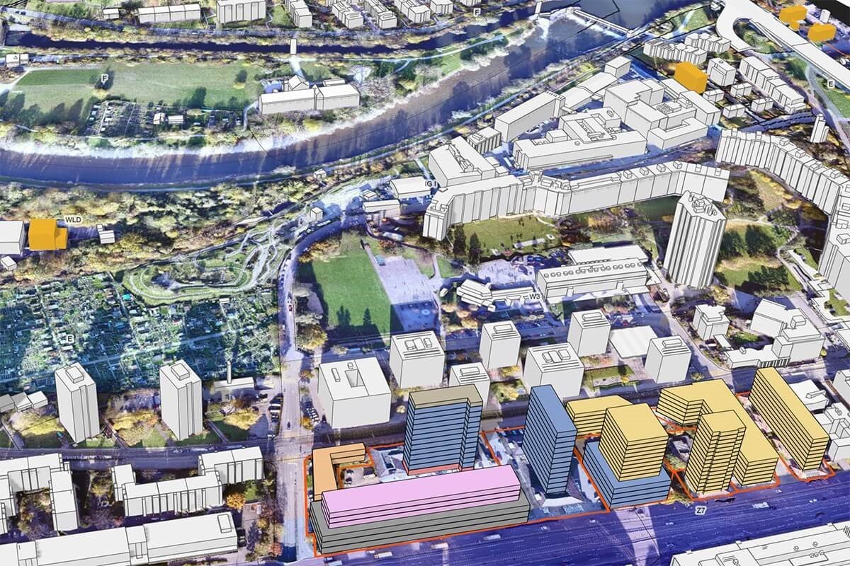
Urban planning translates to massive development in the cities, the rise of skyscrapers and beyond selling residential real estate. This makes way for 3D cameras fitted to drones to be used for generating high resolution, realistic visualizations of potential developments.
The widespread availability of AR on consumer devices lets these images to be transformed into effective public engagement tools. 3D Visualization has assumed new dimensions, and buildings blueprints can be easily superimposed into the surroundings which would provide a mid-way to top-down satellite imagery, and 3D models.
Aid in the Public Participation Process: –
Perhaps the most powerful use of drone technology will be redefining it as a tool for both city and community that would aid in the public participation process. UAV drone imagery can help to bridge the gap between 2D, temporally-devoid satellite imagery and the more prosaic ground-based conventional camera.
Traffic Flows and Behavior Analysis: –
Drone imaginary is used for traffic planning, with an aim to mitigate the impact of new development on the surrounding areas. UAV drone technology paves way for more precise city planning models to be built, either around people, vehicles taking environmental factors like air circulation and rains into consideration. These models let landscape architects and planners to analyze social and environmental conditions.
Watch How Drones Are Mapping Cities and Improving Road Safety: Click Here
Future Prospects of Drone Technology in India
Evolutionary journey of drone technology in India is at a different point than in western countries. But the prospects are promising under the right set of regulations and policies, drones can contribute a lot to the society as well as help in many ecological problems which is hounding us for many years. The fast adoption of Drone technology in India would further provide a push to the mega projects in India particularly to the urban settlement, mining, transportation, energy and agriculture.
Also, evidence-based decisions are increasingly becoming critical to interventions and delivery of services. In such a scenario, access to reliable data becomes crucial for holistic and inclusive policy making and successful implementation.

Thus, drones have commercial value who provide a much cheaper alternative to manned flight, and enable applications that were impossible earlier. Unfortunately, most new technologies come with their own dangers, and drones are no exception.

