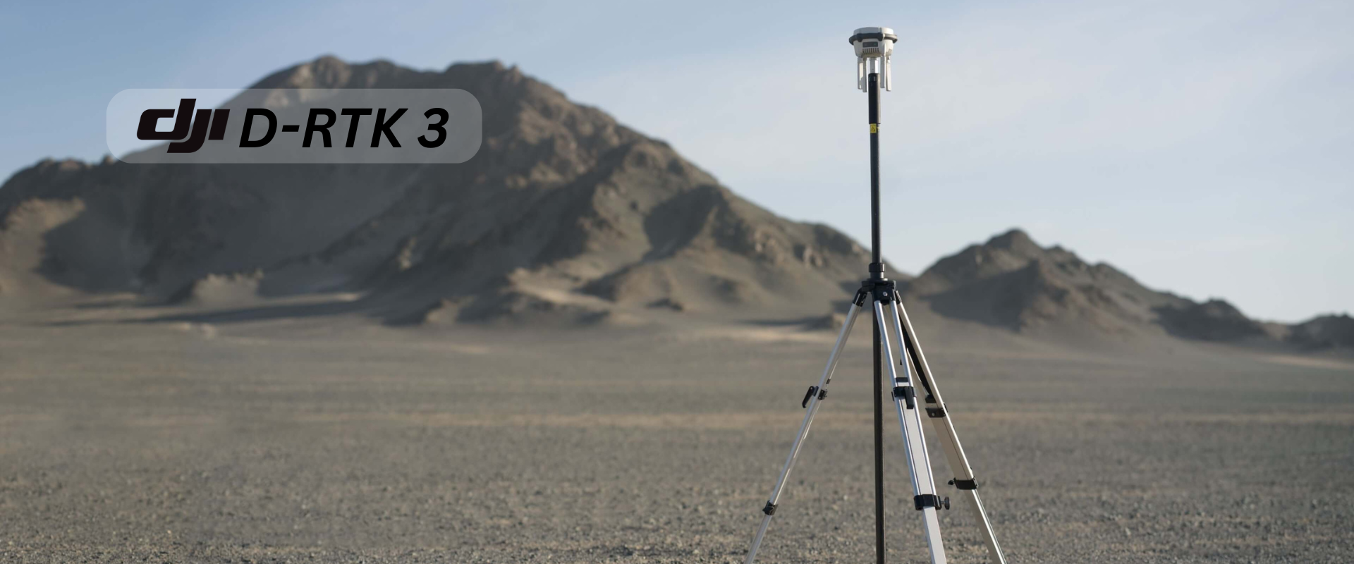
Boost Your Drone Accuracy with the D-RTK 3 GNSS Base Station
In today’s fast-paced world of drone technology, precision is no longer a luxury—it’s a necessity. Whether you’re surveying land, mapping construction sites, or inspecting infrastructure, the D-RTK 3 Base Station ensures centimeter-level accuracy that transforms your operations. Built by DJI for professionals, this advanced GNSS receiver is engineered for compatibility, performance, and reliability in the most demanding environments.
Let’s dive into the top 7 reasons why the D-RTK 3 Base Station is a must-have for high-precision drone missions.

Achieve Centimeter-Level Accuracy Like Never Before
Accuracy can make or break your drone data. The D-RTK 3 uses Real-Time Kinematic (RTK) technology to deliver corrections with centimeter-level precision. This is crucial for applications like photogrammetry, topographic surveys, and precision agriculture. No more guesswork—just pinpoint accuracy every time.
Supports All Major GNSS Systems
The D-RTK 3 Base Station isn’t just powerful—it’s smart. It supports signals from GPS, GLONASS, Galileo, and BeiDou, giving it global satellite compatibility and ensuring signal stability, even in challenging or remote terrains. This multi-constellation support increases reliability, reduces downtime, and enhances your confidence in data quality.
Seamless Integration with DJI Enterprise Drones
Designed to work flawlessly with DJI’s lineup of enterprise drones like the Matrice 300 RTK, Matrice 350 RTK, and Mavic 3 Enterprise, the D-RTK 3 is plug-and-play compatible. This reduces setup time, simplifies configuration, and allows you to focus more on your mission and less on technical issues.

Rugged, Field-Ready Design
Harsh environments? No problem. The D-RTK 3 features an IP65-rated enclosure, which means it’s built to resist water, dust, and extreme temperatures. Whether you’re in a muddy field or on a windy rooftop, this device keeps working when others can’t.
Flexible Deployment Options
The D-RTK 3 is as flexible as it is powerful. Use it as a standalone base station or integrate it into NTRIP networks for broader RTK corrections across larger areas. This versatility allows professionals to adapt the system to various operational needs, from small construction projects to large-scale agriculture.
Easy to Operate and Configure
User experience is at the forefront. With DJI Pilot 2 and other compatible platforms, configuring and operating the D-RTK 3 is straightforward and intuitive. This minimizes training time and maximizes productivity, especially useful for teams working under tight deadlines.
Future-Proof Your Drone Workflows
Investing in the D-RTK 3 isn’t just about today—it’s about tomorrow. As DJI continues to innovate, the D-RTK 3 will remain at the forefront of GNSS technology. Firmware updates and software enhancements ensure you’ll always be equipped with the latest capabilities.
Who Should Use the D-RTK 3 Base Station?
This GNSS base station is ideal for:
Surveyors and civil engineers needing high-accuracy data
Agriculture professionals conducting precision farming
Mapping experts creating topographic models
Inspection teams working on infrastructure, energy grids, and pipelines
Search and rescue operators requiring dependable navigation in critical missions
Conclusion: Is the D-RTK 3 Worth It?
If you’re serious about accuracy, reliability, and efficiency in drone operations, the D-RTK 3 Base Station is an investment worth making. Its robust feature set, seamless compatibility with DJI systems, and top-tier performance in the field make it one of the best GNSS solutions available for professionals.