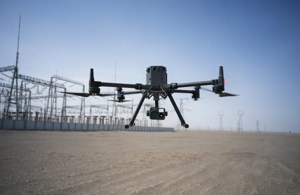
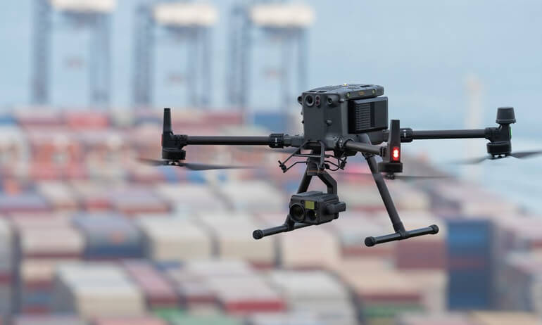
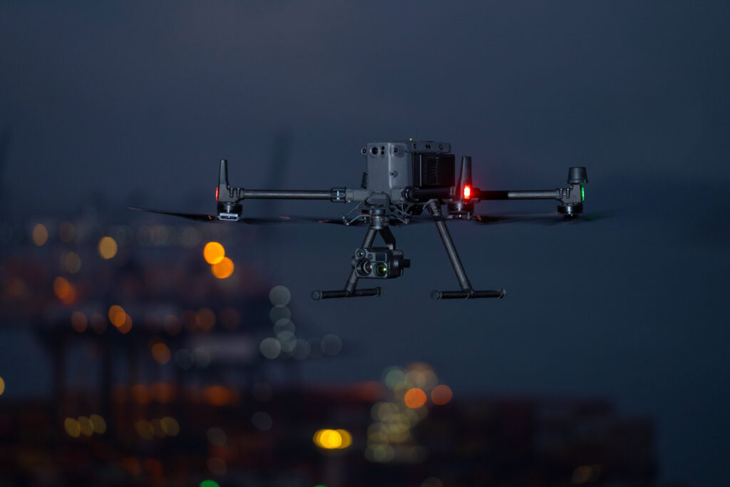
The field of precision mapping has seen transformative advancements with the rise of drone technology, and the DJI Matrice 350 RTK stands out as a leading solution. Designed for professional-grade mapping applications, this drone combines cutting-edge features, reliability, and user-friendly operation to deliver unmatched accuracy and efficiency. From land surveying to infrastructure inspections, the Matrice 350 RTK has set a new standard in the mapping industry.
In this blog, we’ll explore why the DJI Matrice 350 RTK is hailed as the ultimate drone for precision mapping, delving into its advanced features, key applications, and benefits for professionals in various industries.

RTK Technology: Precision Redefined
At the heart of the DJI Matrice 350 RTK lies its advanced Real-Time Kinematic (RTK) technology. This system provides centimeter-level accuracy by correcting positional data in real-time. Traditional drones rely on GPS systems, which can have errors in the meter range, but the RTK module ensures pinpoint precision.
For mapping professionals, this translates to highly accurate georeferenced data, eliminating the need for ground control points (GCPs) in many scenarios. Whether you’re mapping large agricultural fields or urban landscapes, the RTK capabilities of the Matrice 350 significantly reduce time and effort, enhancing project efficiency.
Exceptional Camera and Payload Compatibility
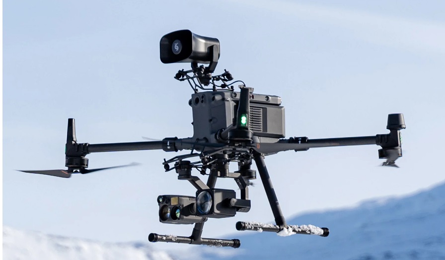
Mapping requires high-resolution imagery, and the DJI Matrice 350 RTK delivers with its compatibility with a variety of payloads. Users can choose from advanced cameras such as the Zenmuse P1 for photogrammetry or the Zenmuse L1 for LiDAR mapping, ensuring flexibility for diverse project requirements.

The Zenmuse P1 captures ultra-high-resolution images, while the Zenmuse L1 offers precise LiDAR data collection, even in low-light or dense vegetation conditions. This versatility makes the Matrice 350 RTK a go-to solution for projects ranging from detailed 3D modeling to infrastructure analysis.

Long Flight Time for Extended Missions
One of the standout features of the DJI Matrice 350 RTK is its extended flight time. With a maximum flight duration of up to 55 minutes, the drone enables professionals to cover larger areas without frequent interruptions. This is especially beneficial for large-scale mapping projects, such as surveying expansive agricultural fields or conducting environmental studies.
The long battery life, combined with intelligent battery management systems, ensures that operators can focus on their mission without worrying about mid-flight disruptions. This reliability adds a layer of confidence, making the Matrice 350 RTK an indispensable tool for critical mapping applications.
Durable Design for Challenging Environments
Precision mapping often involves operating in challenging environments, and the DJI Matrice 350 RTK is built to withstand such conditions. With an IP55 weather resistance rating, it can handle rain, dust, and varying temperatures, ensuring uninterrupted operations regardless of the environment.

The drone’s robust design also includes omni-directional obstacle sensing, allowing it to navigate complex terrains with ease. This capability not only enhances safety but also ensures the accuracy of the collected data, as the drone can focus on capturing precise measurements without manual intervention.
Applications Across Industries
The versatility of the DJI Matrice 350 RTK makes it an invaluable asset across a variety of industries.
- Land Surveying: Generate accurate topographical maps and georeferenced models for construction, urban planning, and real estate projects.
- Agriculture: Perform crop analysis and land assessments with precise aerial imaging, optimizing resource management.
- Infrastructure Inspection: Map bridges, railways, and highways with detailed 3D models for maintenance and planning.
- Environmental Monitoring: Conduct environmental assessments and track changes in forests, wetlands, and other ecosystems.
The drone’s adaptability ensures it can handle diverse tasks, making it a must-have for professionals seeking reliable and accurate mapping solutions.
Cost Efficiency and Productivity
While the DJI Matrice 350 RTK is an investment, its advanced capabilities and efficiency make it cost-effective in the long run. By reducing the need for extensive ground control setups and providing faster data collection, the drone significantly cuts project costs and timelines.
For businesses, this means more projects completed in less time, maximizing productivity and return on investment. The combination of accuracy, reliability, and speed makes the Matrice 350 RTK a valuable tool for companies looking to stay competitive in the mapping and surveying industry.
Conclusion
The DJI Matrice 350 RTK is more than just a drone—it’s a precision mapping powerhouse that redefines how professionals approach geospatial projects. Its advanced RTK technology, versatile payload compatibility, long flight time, and robust design make it the ultimate choice for accurate and efficient mapping.
Whether you’re a surveyor, environmentalist, or construction planner, the Matrice 350 RTK empowers you to achieve exceptional results while streamlining your workflow. Investing in this state-of-the-art drone ensures you stay ahead in the ever-evolving field of precision mapping.
Explore the DJI Matrice 350 RTK at TechIndia.in today and transform the way you map the world!


