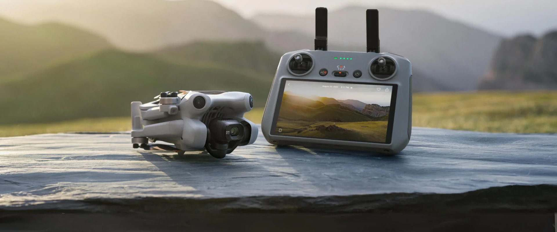
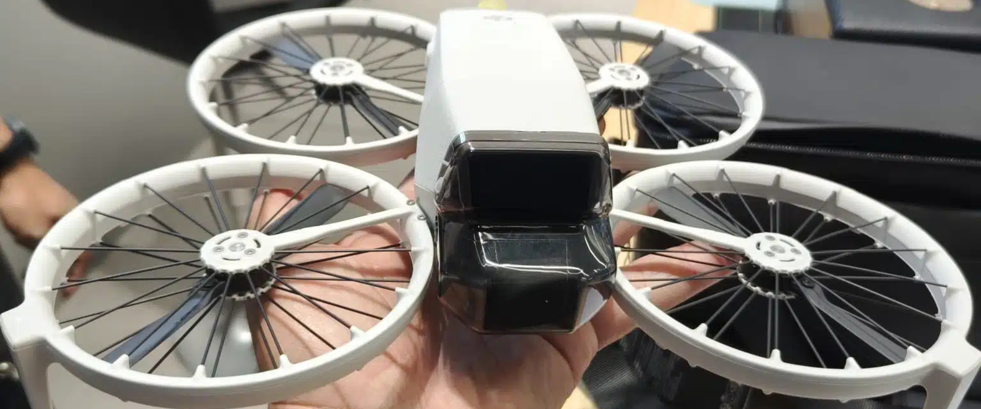
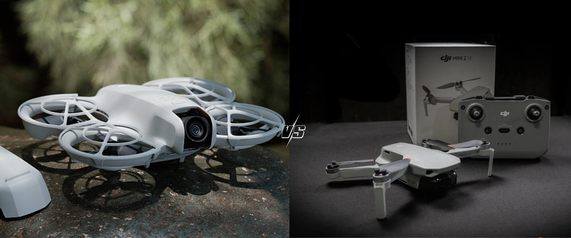
The drone community is buzzing with excitement as DJI prepares to unveil its latest masterpiece, the DJI Mini 5 Pro. Building on the legacy of its predecessors, this upcoming drone promises to redefine aerial photography and videography with cutting-edge features, compact design, and user-friendly operation. While the official release date and full specifications are yet […]
Information
DJI Air 3S Reviews: Unveiling Performance, Features, and Value for Aerial Enthusiasts
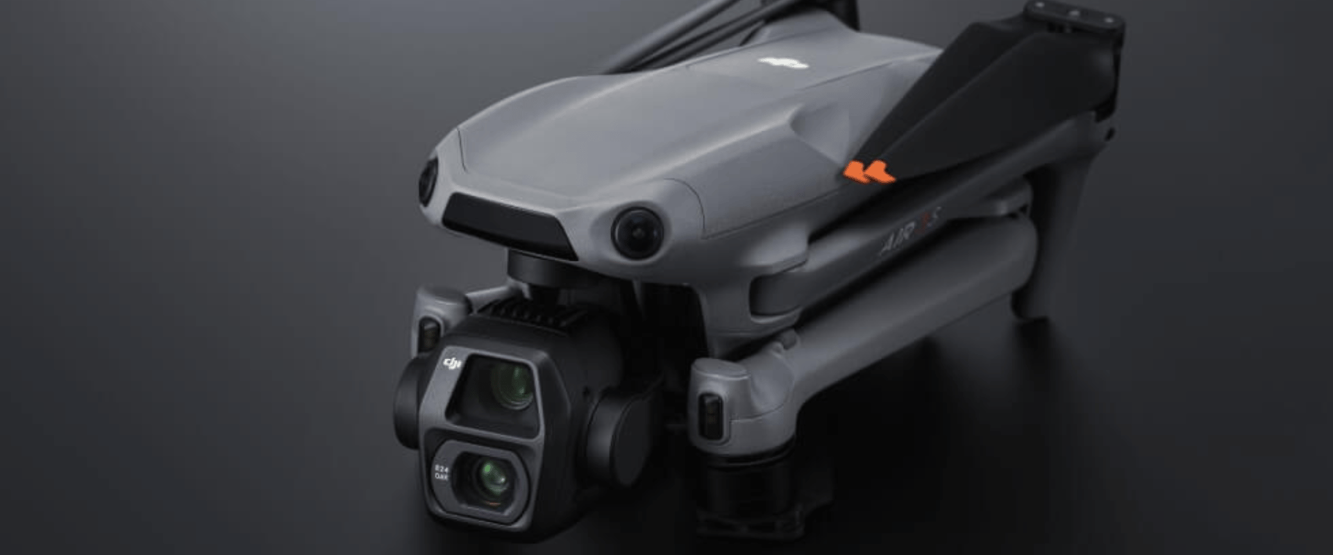
DJI Air 3S has hit the market like a storm as it is one of those designs that offer professional-grade features quite easily. It offers an advanced imaging experience to professional users alongside a compact build that brings intelligent flight modes, putting the DJI Air 3S at one of the strongest contenders in the list of mid-range drones. Design and Build Quality Built for portability and durability, the DJI Air 3S features a […]
UAV in Forestry
The part of forests in the Earth’s biodiversity has much to do with the planting, nurturing, cultivation, and science of trees, groves, bushlands, and wood thickets, which are the key species of forest ecosystems. The life and soul of our planet, forest ecosystems, make up for 31% of the world’s biodiversity. Being the only elemental […]
Urban Planning using Drones
As drone surveying lays a path toward well-established urban planning, we can quickly accumulate large amounts of real-time data. With extensive aerial mapping technology have benefited government agencies and private developers while designing and analyzing existing social and environmental concerns. Drones: A New Way Of Tackling India’s Urban Planning And Management Issue- Whether it is […]
UAV in Mining Industry
In the few decades, with the developing and advancing drone tech, the uses and applications of drones have been evolving into a wide range. When drones first emerged on the market, they were strictly used for military purposes. Today, drones are used in many ways including delivery of small items, industrial site inspections, infrastructure monitoring, […]
Aerial Survey
Aerial survey, also known as photogrammetry is a process of image acquisition of a surface from an elevated position. It is a method of collecting geomatics or other imagery by using airplanes, helicopters, UAVs, balloons or other aerial methods. Aerial Photography provides means of capturing important data required for civil engineering projects. Aerial photograph for […]
Aerial Wind Turbine Blade Inspections
Wind turbines are getting bigger and bigger. The larger the wind turbines are, the more kilowatts they are capable of producing. However, wind turbines are also difficult to inspect and maintain, requiring cranes and specialised maintenance engineers to inspect both the rotor blade and the overall structure. Maintenance and inspections are costly, time-consuming and risky […]
Aerial Solar Panel Thermal Inspection
Aerial Drone Inspection allows data acquisition from hard-to-reach areas quickly, decreases various risks and costs, and reduces the workforce required on-field.In the past few years, drones have emerged as an essential tool in the energy sector too. Drones are being utilised in one of the biggest industry, Solar Power Areas. Continuous growth of the solar […]
RTK vs PPK vs GCP which is the best for Mapping?
Why do Surveyors use GCP or RTK or PPK? A surveyor’s job is to capture accurate data With boots on the ground, this responsibility is almost entirely up to the surveyor and their level of expertise. However, developments in technology, Drone, have made the surveying process faster, safer, and more efficient. While laying ground control […]
10 Reasons you should invest in Drone Training
As the drone industry continues to grow and develop at a rapid rate, pilots and operators must do the same to improve their standing with it. There’s a lot to learn beyond the basics of your Drone operation skills as you perhaps build towards becoming a chief pilot in a […]