DJI Terra Software
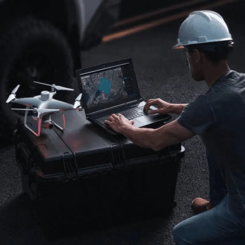
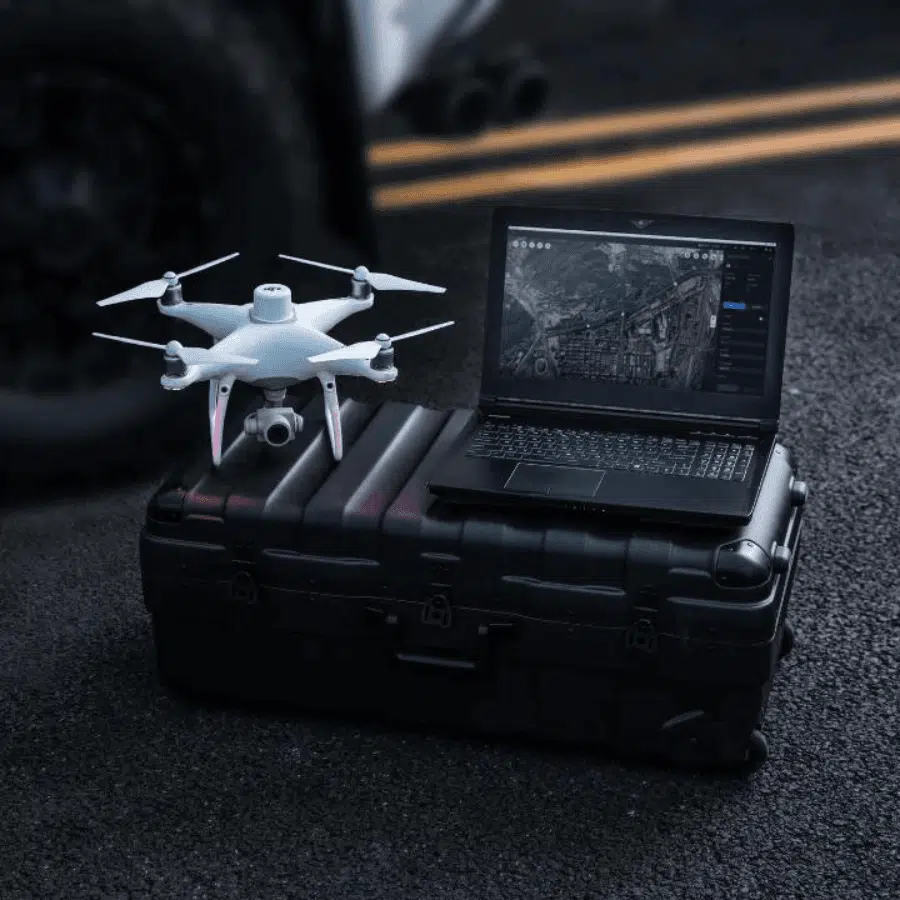
DJI Terra is a powerful mapping and surveying software designed for drone professionals to transform aerial data into valuable insights. It enables users to efficiently capture, analyze, and visualize spatial information with precision. Ideal for industries like construction, agriculture, public safety, and infrastructure, DJI Terra supports real-time 2D and 3D mapping, mission planning, and data analysis. With features like automated flight planning, 3D reconstructions, and terrain-following capabilities, DJI Terra simplifies complex mapping projects, delivering accurate results to help you make informed decisions quickly.
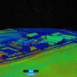
Real-Time Mapping: With the powerful DJI Terra software, you can generate 2D maps and 3D models in real-time, enabling rapid field analysis and informed decision-making. This is crucial for tasks that require quick data turnaround, such as emergency response, site inspections, and crop health monitoring.
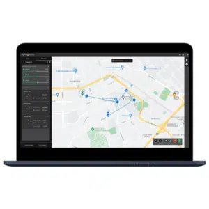
Automated Flight Planning: DJI Terra simplifies mission planning by offering automated flight path creation, ensuring thorough coverage of the target area. Users can customize parameters like altitude, speed, and overlap to capture high-quality data tailored to the specific needs of projects in construction, agriculture, and more.
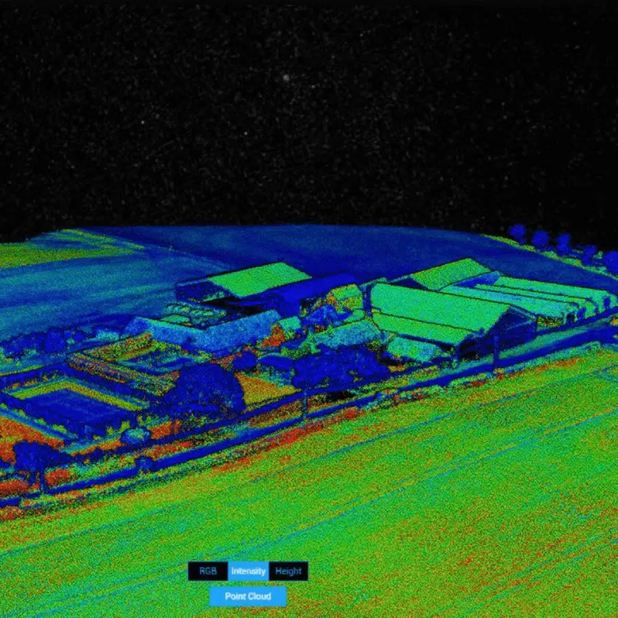
High-Precision 3D Reconstruction: Create detailed and highly accurate 3D reconstructions with Terra software, perfect for applications in surveying, infrastructure inspections, and DJI Terra agriculture. This feature allows professionals to visualize environments from multiple perspectives and perform in-depth analyses for better decision-making.
Seamless Integration with DJI Drones: The software is designed to work seamlessly with a range of DJI drones, including the Phantom, Mavic, and Matrice series. This tight integration optimizes workflows for tasks such as mapping large agricultural fields, monitoring construction progress, and performing industrial inspections, making Terra a versatile tool across various industries.
Terrain-Following Mode: DJI Terra software includes terrain-following capabilities that automatically adjust the drone’s altitude to follow the natural contours of the land. This ensures accurate mapping results even in areas with significant elevation changes, making it ideal for surveying hilly landscapes or agricultural fields with uneven terrain.
Comprehensive Data Analysis Tools: The software offers powerful tools for analyzing, measuring, and annotating collected data. With features like volumetric calculations, distance measurements, and area estimations, Terra provides valuable insights for industries such as mining, construction, and DJI Terra agriculture, where precision is essential.
Multiple Output Formats: Export data in various formats, including OBJ, LAS, and TIFF, which are compatible with popular CAD software, GIS systems, and other industry-standard applications. This flexibility ensures that the data collected with Terra can be easily integrated into existing workflows for further analysis, reporting, or project planning.




Reviews
There are no reviews yet.