AGISOFT METASHAPE Software
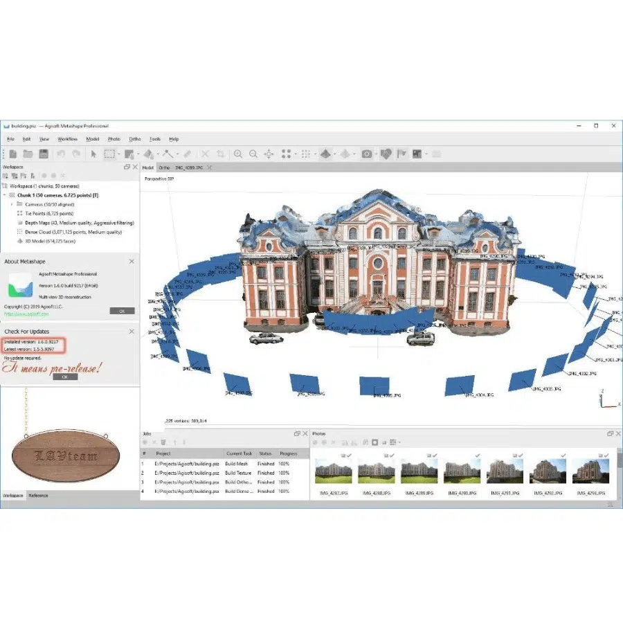
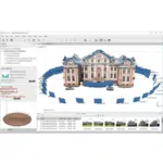
Agisoft Metashape is a professional photogrammetry software that enables users to create high-quality 3D models and maps from aerial and ground-based imagery. Ideal for applications in fields such as archaeology, architecture, mining, and agriculture, Metashape processes images to generate accurate 3D reconstructions, digital elevation models (DEMs), orthomosaics, and texture maps. With advanced tools for automated workflow, dense point cloud generation, and mesh refinement, it supports both beginners and experts in producing detailed and precise spatial data. The software also offers compatibility with various formats for easy integration into GIS and CAD applications.
High-Precision 3D Reconstruction: Agisoft Metashape excels at transforming aerial and ground-based images into highly accurate 3D models, dense point clouds, and textured meshes. It is suitable for a variety of applications, including archaeology, architecture, industrial inspections, and cultural heritage documentation. The software uses advanced algorithms to ensure that every detail is captured with precision, making it ideal for projects that require a high level of accuracy.
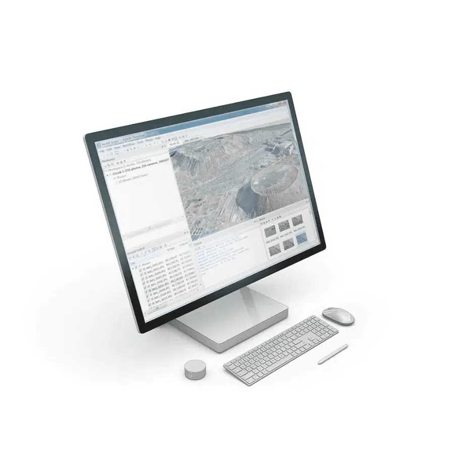
Automated Workflow: The software provides a user-friendly, automated workflow that simplifies the entire photogrammetry process, from aligning images to generating dense point clouds, digital elevation models (DEMs), and detailed textured 3D models. The automation reduces the need for manual intervention, making it accessible to beginners while still offering a range of customization options for experienced users who need more control over processing parameters.
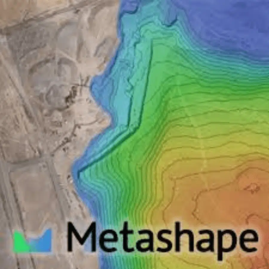
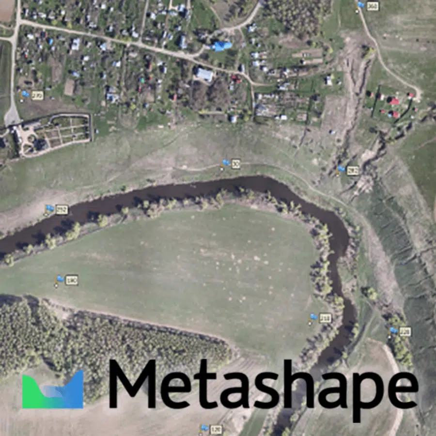
Digital Elevation Models (DEMs) and Orthomosaics: Agisoft Metashape allows users to create high-quality DEMs and orthomosaics, providing accurate terrain data and high-resolution aerial maps. This is particularly valuable for industries like agriculture, mining, urban planning, and environmental monitoring, where precise terrain analysis and mapping are essential for decision-making. The software’s ability to generate georeferenced outputs ensures that the data can be easily integrated into geographic information systems (GIS).
Support for Multispectral and Thermal Imaging: The software supports the processing of multispectral and thermal imagery, enabling users to analyze different data layers for more in-depth insights. This is especially useful in precision agriculture, forestry management, and environmental studies, where combining various types of imagery can reveal information such as crop health, vegetation density, and thermal hotspots that are not visible in standard RGB images.
Dense Point Cloud Generation: Agisoft Metashape generates dense point clouds with millions of points, providing detailed 3D spatial data that can be used for topographic modeling, volumetric measurements, and feature extraction. The software includes tools for classifying, editing, and filtering the point cloud, allowing users to enhance data quality and tailor the outputs to specific project requirements, such as land surveying or construction site monitoring.
Advanced Mesh and Texture Editing: The software offers robust tools for refining meshes and textures, enabling users to improve the accuracy and visual quality of 3D models. This feature is crucial for applications where high levels of detail are necessary, such as cultural heritage preservation, product design, or visual effects production. Users can also export the enhanced models in various formats for use in 3D printing, simulation, or augmented reality projects.
Integration with GIS and CAD Software: Agisoft Metashape supports multiple output formats, including OBJ, FBX, LAS, and GeoTIFF, allowing seamless integration with GIS, CAD, and other industry-standard applications. This ensures that the generated 3D models, DEMs, and orthomosaics can be easily used for further analysis, visualization, or planning, making the software a versatile tool for professionals in fields such as land surveying, construction, and urban planning.
Network Processing and Batch Mode: For large-scale projects, Agisoft Metashape offers network processing capabilities and a batch mode that enables users to process large datasets and automate repetitive tasks across multiple computers. This significantly reduces processing time and boosts efficiency, making it suitable for enterprises and organizations that regularly handle complex projects with substantial data volumes.



Reviews
There are no reviews yet.