
SPH Engineering · SKU IS-SW-SKYHUB-TTF
SkyHub software package for True Terrain Following
Enables high-precision, low-altitude terrain-following flight using a radar or laser altimeter on DJI and Pixhawk-based platforms.
From ₹4,17,555excl. GST & shipping
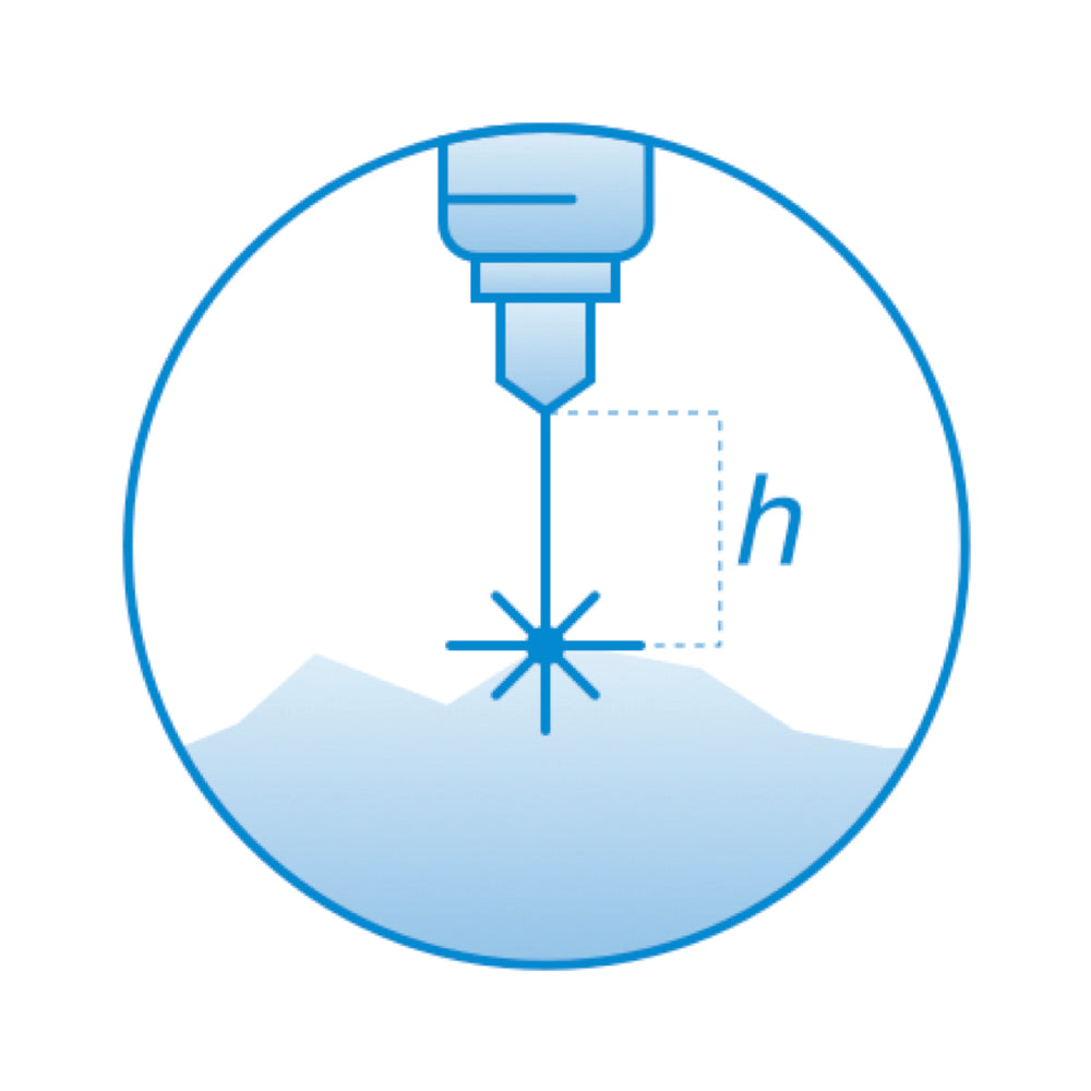
Enables True Terrain Following — precise, low-altitude flight over changing terrain using an altimeter sensor for real-time ground clearance.
Requires a SkyHub onboard computer, a compatible altimeter, and UgCS; supported on DJI M400/M350/M300 RTK and Pixhawk/ArduCopter autopilots.
Low-altitude precision terrain followingCorridor and vegetation-covered terrain mapping
Technical
| Requires | SkyHub, compatible altimeter, UgCS |
| Supported platforms | DJI M400/M350/M300 RTK; Pixhawk (ArduCopter) |