
Drone Software, Licensed & Set Up For You
Industry-leading drone software for mapping, fleet ops and enterprise flight — we handle the licensing, installation and training so your team can fly on day one.
DJI and industry-standard software, installed and licensed
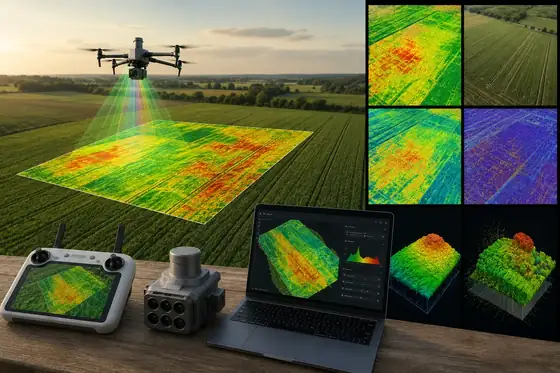
DJI Terra
2D orthomosaics, 3D reconstruction, LiDAR point clouds and inspection route generation from your survey flights.
Enquire →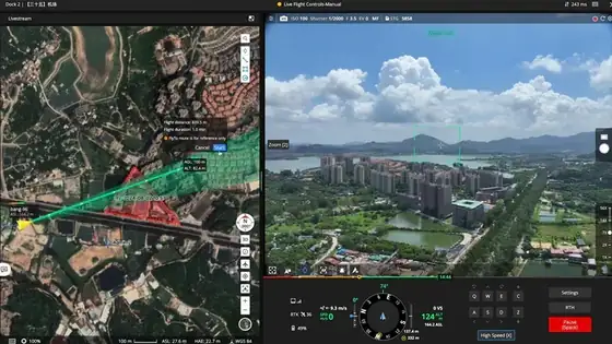
DJI FlightHub 2
Live fleet tracking, remote mission monitoring and cloud-based data management across multiple drones and pilots.
Enquire →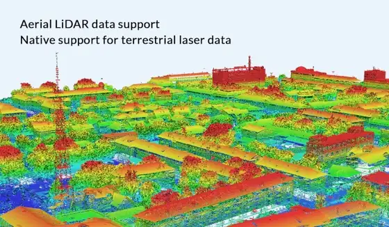
Agisoft Metashape
High-precision photogrammetry — dense point clouds, textured meshes and DEM/DSM generation from aerial imagery.
Enquire →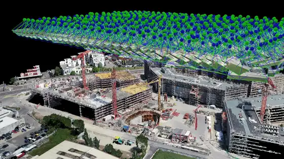
Pix4D
Photogrammetry and mapping software used across survey, construction, mining, agriculture and inspection projects.
Enquire →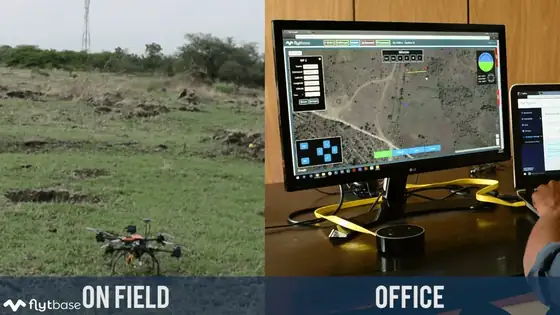
FlytBase
Drone-in-a-box automation, remote operations and fleet orchestration for dock-based and BVLOS missions.
Enquire →Which software fits your workflow?
| Software | Best for | Core output |
|---|---|---|
| DJI Terra | Mapping, LiDAR & inspection planning | 2D maps, 3D models, point clouds |
| DJI FlightHub 2 | Fleet & cloud operations | Live tracking, mission and asset data |
| Agisoft Metashape | High-precision 3D reconstruction | Dense point clouds, textured meshes, DEM/DSM |
| Pix4D | Survey, construction & agriculture mapping | Orthomosaics, volumetric & crop analysis |
| FlytBase | Drone-in-a-box automation & BVLOS | Automated missions, fleet dashboards |
From enquiry to first flight
Tell us your use case
Mapping, inspection, agriculture or fleet operations — we start with your workflow.
We match the software
The right DJI software for your drone, sensor and deliverables.
Licence activation
We set up and activate your licence or subscription for you.
Hands-on setup
Installation, first flight and a calibration walkthrough with your team.
Ongoing support
Reach out anytime for licence renewals or workflow questions.
Need help choosing the right software?
Tell us your mapping, inspection or fleet workflow — we'll set up the right DJI software stack for you.