
Geolux LX-80-AB water level measurement kit
80GHz radar sensor for centimetre-accurate, contactless river and reservoir water-level monitoring.
The Geolux LX-80-AB water level sensor uses radar technology for precise, contactless measurement of the distance from the sensor to the water surface — transmitting a frequency-modulated 80GHz (W band) wave and measuring the frequency shift of the reflection.
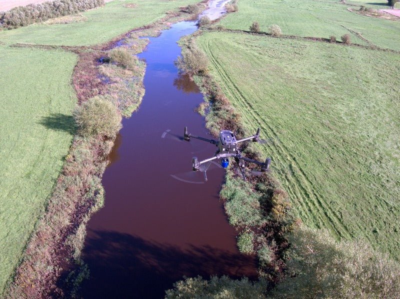
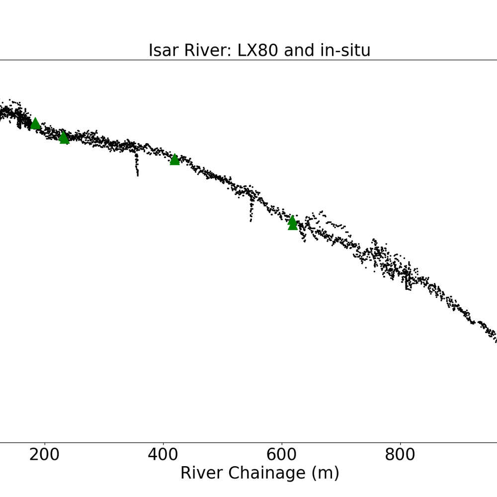
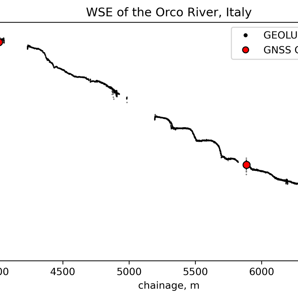
Flown in autonomous mode at 30–40m altitude along a river, the sensor provides water-surface elevation profiles with centimetre accuracy. Because water is an excellent microwave reflector, the return signal is dominated by water targets within the sensor footprint.
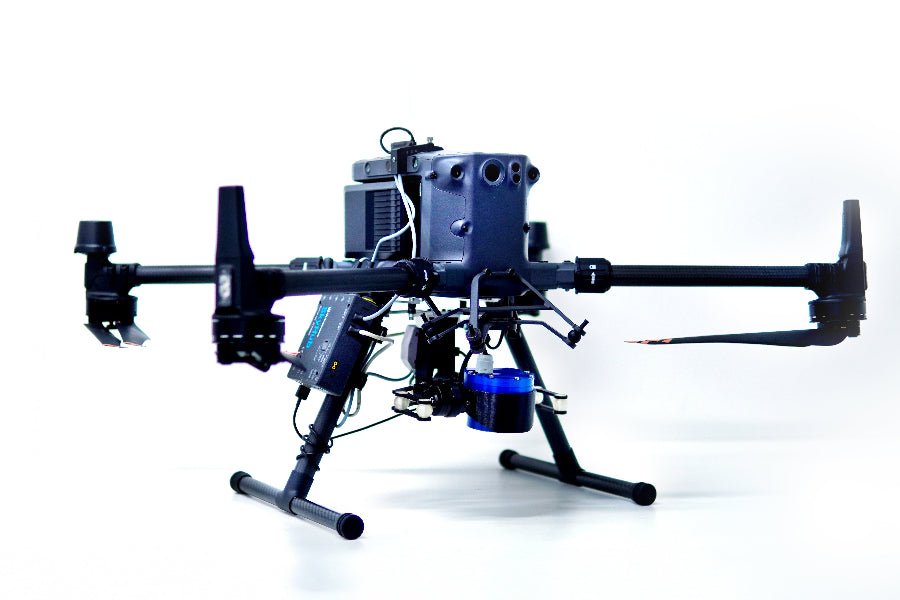
LX-80-AB is the "airborne" version of the ground-based Geolux LX-80 sensor, and integrates with DJI M350/M300 RTK and Pixhawk-based drones via the SkyHub onboard computer, which is required to log the data.
Technical
| Measurement principle | FMCW radar, 80GHz (W band) |
| Typical survey altitude | 30–40m, autonomous flight along the river |
| Accuracy | Centimetre-level water-surface elevation |
Certifications
| Standards | EN 61326-1:2013 · ETSI EN 301 489-1/3 · EN 62368-1:2014+A11:2007 · EN 60950-22:2017 · EN 61010-1:2010 · FCC Part 15 Class B · ISED RSS211 |
What's in the kit
- Geolux LX-80-AB radar level sensor
- Cable to connect the sensor to the SkyHub onboard computer
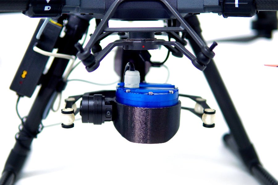
- Gimbal and mountings
- Software for sensor data logging